
Google joins mission to map methane from space

Tech giant Google is backing a satellite project due to launch in March which will collect data about methane levels around the world
The new satellite will orbit 300 miles about the Earth, 15 times per day.
Methane gas is believed by scientists to be a major contributor to global warming, because it traps in heat.
A lot of methane is produced by farming and waste disposal, but the Google project will focus on methane emissions at oil and gas plants.
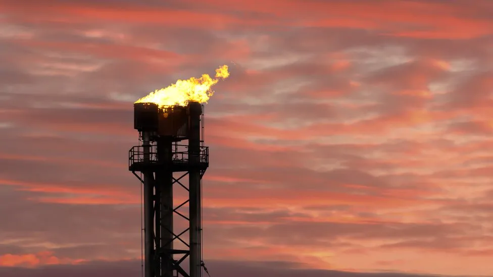
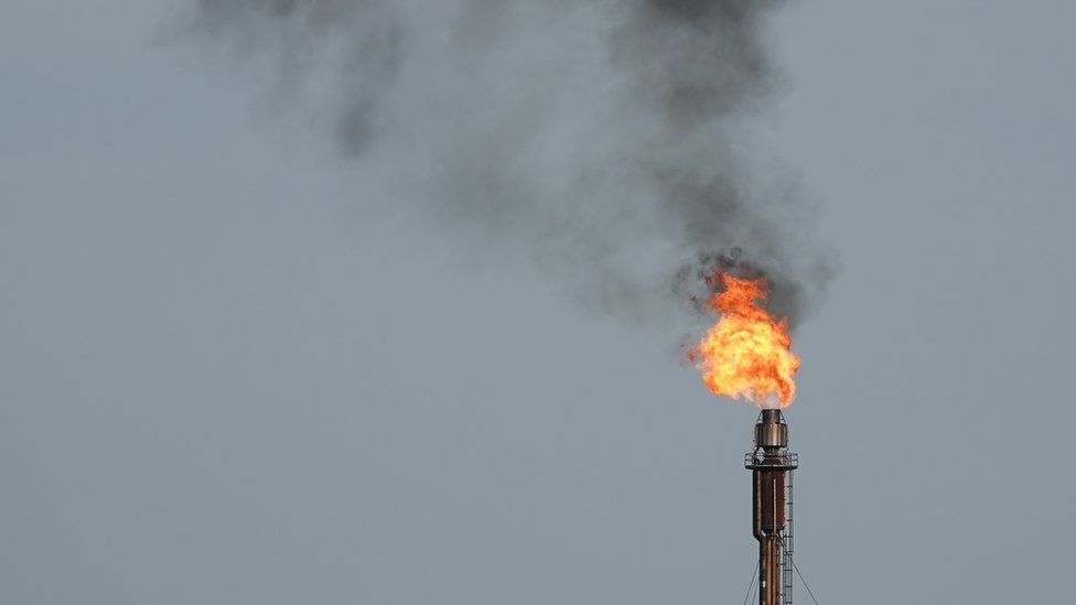
Firms extracting oil and gas regularly burn or vent methane.
The new project is a collaboration between Google and the Environmental Defense Fund, a non-profit global climate group.
The data captured by the satellites will be processed by the tech giant’s artificial intelligence tools and used to generate a methane map aimed at identifying methane leaks on oil and gas infrastructure around the world.
But the firm said if it identified a significant leak it would not specifically notify the company which owned the infrastructure responsible for it.
“Our job is to make information available,” it said, adding that governments and regulators would be among those with access to it and it would be for them to force any changes.
There is no international rule on controlling methane emissions. The EU has agreed a set of proposals aimed at reducing them, which includes forcing oil and gas operators to repair leaks. In the coal sector, flaring will be banned in member states from 2025
Google’s map, which will be published on its Earth Engine, will not be in real time, with data sent back from the satellite every few weeks.
In 2017 the European Space Agency launched a similar satellite instrument called Trompomi, which charts the presence of trace gases in the atmosphere, including methane.
It was a mission with a minimum seven year life span, which means it could end this year.
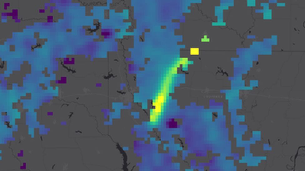
Carbon Mapper, which uses Trompomi data, released a report in 2022 indicating that the biggest methane plumes were seen in Turkmenistan, Russia and the US – but cloud cover meant the data did not include Canada or China.
Google said it hoped its project would “fill gaps between existing tools”.

Despite various tracking efforts, methane levels remain concerningly high.
Nasa says levels of the gas have more than doubled in the last 200 years, and that 60% of it is created by human activity.
A major contributor to that percentage is livestock: specifically, cows. Because of the way they digest their food, cow burps and farts contain methane.
In 2020 the US Environmental Protection Agency published a report which said that a single cow could produce 154-264 pounds of methane gas every year. It added that there are believed to be about 1.5 billion cows raised for their meat worldwide.
“Satellites are great for finding the really big, massive culprits” of methane emissions, said Peter Thorne, professor of physical geography at Maynooth University in Ireland.
But detecting more diffuse methane sources, such as those emanating from agriculture, is more difficult, he added.
-
-
16 September 2023
-
-
-
4 February 2022
-